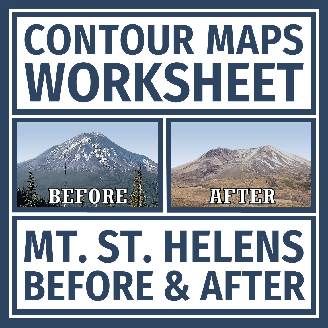
Topographic and Contour Maps Worksheet with Mt. St. Helens
$2.50
Practice reading contour maps with a REAL LIFE volcano example!
Grades 7 and Up
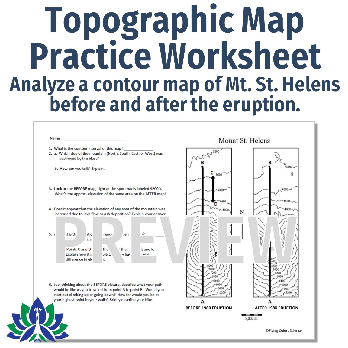
In this quick contour maps worksheet, students are given a topographic map of Mt. St. Helens BEFORE and AFTER it erupted. Students analyze the maps for contour intervals, elevation, and how the volcano changed the topography of the mountain.
Teacher Notes:
- ANSWER KEY INCLUDED.
- Please note: This contour maps worksheet is not editable.
- Check out more resources in the Earth’s changing surface section of our shop!
Be the first to review “Topographic and Contour Maps Worksheet with Mt. St. Helens” Cancel reply


Reviews
There are no reviews yet.