


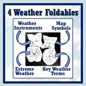
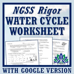
Related products
-
Earth and Space
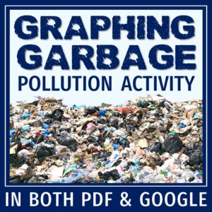
Human Impact on the Environment: Graphing Garbage Land Pollution Activity
$5.99 Add to cart
$3.99
Includes print and digital versions!
Grades 7-10
⭐ Get this ring of fire activity at a discount in our Plate Tectonics Activity Bundle!
Students plot the location of the Ring of Fire using locations of REAL earthquakes and volcanoes. For added interest, the data is not just simple coordinates. Each volcano’s name and country is given, and each earthquake includes the date, magnitude, and country.
In this activity, students will:
Two sets of data are included. One set includes 32 coordinates EACH for volcanoes and earthquakes, and the other (to save time or for modification) includes 20 coordinates each for volcanoes and earthquakes.
For this activity, you will print 3 pages.
1. World Map
2. Instructions and Analysis Student Sheet
3. Volcano/Earthquake Data (I make just one class set and reuse them year-to-year.)
NGSS Standards Addressed: MS-ESS2-1, MS-ESS2-2, MS-ESS3-2
NGSS Science & Engineering Practice: Analyzing and interpreting data
Teacher Notes:
© Flying Colors Science 2024 | Terms & Conditions | Privacy Policy | Disclaimer
| Cookie | Duration | Description |
|---|---|---|
| cookielawinfo-checkbox-analytics | 11 months | This cookie is set by GDPR Cookie Consent plugin. The cookie is used to store the user consent for the cookies in the category "Analytics". |
| cookielawinfo-checkbox-functional | 11 months | The cookie is set by GDPR cookie consent to record the user consent for the cookies in the category "Functional". |
| cookielawinfo-checkbox-necessary | 11 months | This cookie is set by GDPR Cookie Consent plugin. The cookies is used to store the user consent for the cookies in the category "Necessary". |
| cookielawinfo-checkbox-others | 11 months | This cookie is set by GDPR Cookie Consent plugin. The cookie is used to store the user consent for the cookies in the category "Other. |
| cookielawinfo-checkbox-performance | 11 months | This cookie is set by GDPR Cookie Consent plugin. The cookie is used to store the user consent for the cookies in the category "Performance". |
| viewed_cookie_policy | 11 months | The cookie is set by the GDPR Cookie Consent plugin and is used to store whether or not user has consented to the use of cookies. It does not store any personal data. |

Reviews
There are no reviews yet.